22 Apr 2022
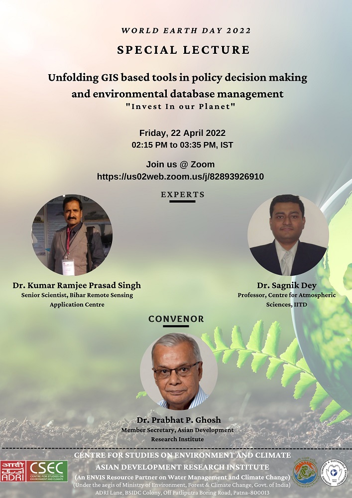
Speaker : Dr. Sagnik Dey, IIT, Delhi and Dr. Kumar Ramjee Prasad Singh, a Senior Scientist at Bihar Remote Sensing Application Centre
Date & Time: Apr 22, 2022 / 02:00 PM India
Patna, April 22. On the occasion of World Earth Day 2022, the Centre for Studies on Environment and Climate (CSEC) at the Asian Development Research Institute (ADRI) organized two special lectures. The lectures were delivered by Dr. Sagnik Dey, Professor at IIT, Delhi and Dr. Kumar Ramjee Prasad Singh, a Senior Scientist at Bihar Remote Sensing Application Centre. The topic of the lecture was Role of GIS in Decision Making in the Field of Environment and Climate.
Dr. Sagnik Dey enlightened the audience on the global air quality monitoring and how satellite remote sensing is a new tool for measuring air quality. He stated that the ideal way to have a good frequency of air quality data is adopting a hybrid approach by integrating various alternative monitoring systems, like artificial intelligence and machine learning.
In the second lecture, Dr. Singh pointed out the growing trend of dissemination of GIS based information in Bihar and how applications like remote sensing, GIS, and GPS tool have changed the concept of spatial aspects in the present day. He also named a few projects like IWMP, PMKSY that have been implemented in the state using the GIS and remote sensing application.
Dr. Prabhat P Ghosh, Member-Secretary of ADRI delivered the welcome address and a vote of thanks was proposed by Ms. Debrupa Ghosh. Ms. Ghazal Hashmi was the co-ordinator for the occasion.
Brief
Geography, often referred to as “the world discipline”, has been the strongest “bridge” between the economies, natural resources, people, communities, the environment and their interactions in space and time. Geographical thinking is deep-rooted in humans and subconsciously we harness it to think and do things. Early humans are known to have depicted geographic information symbolically on flat surfaces (stones, bones, rocks, etc) in the form of patterns and pictures. With time information got better organized, different mediums of communication came into use. For thousands of years, the spatial information depiction has been the traditional, manually drafted map involving pens, rub-on shading, rulers, planimeters, dot grids, and acetate sheets. Its historical use was for navigation through unfamiliar terrain and seas, emphasizing the accurate location of physical features. It was in the 1960’s, when computers revolutionized the way geographic information could be used. The first “Geographic Information System (GIS)”, built in 1963, was used for storing, analyzing, and manipulating land information in a map-based environment.
Over time, with advances in computing and communication technologies, GIS has become a powerful and versatile tool with enhanced capabilities and diverse applications. GIS is inherently integrative in its ability to combine information from different systems collected into location bound databases, displays and analyses. From data processing tools in the past, today’s GIS has graduated into a means for data sharing and collaboration, inspiring a vision that is now rapidly becoming a reality—a continuous, overlapping, and interoperable database of the world, about virtually all subjects. Referring to the history of GIS in India, GIS technology has been widely used over the period of time & a substantial knowledge base is created. In 1990’s, India had its own Remote Sensing satellites and image-based mapping and has been creating GIS databases and applications. In fact, it marched ahead to build National Spatial Data Infrastructure during start of last decade. Implementing GIS has been far more effective than expected. May it be air quality monitoring, climate change predictions, planning of water resource management or health care facilities, a sound base has been made available through the GIS solution. GIS is not just essential but is now an urgent necessity—so as to empower its citizens and bring inclusive economic growth and prosperity to the people.
However, the fast development of the economic sector and population explosion has caused significant changes to our Earth’s resources over the last two centuries, and there is a sign that these changes will increase in the future. There is now a need to set a clear agenda for establishing and making operational GIS, which is becoming a key element of a new innovative information foundation that will empower governance, enterprises, and citizens. Therefore, to understand the major developments and initiatives in decision making through the usage of GIS-based tools and applications, on the occasion of World Earth Day, the Centre for Studies on Environment and Climate at Asian Development Research Institute is organizing special lectures which will be delivered by the subject experts to put special emphasis on the following discourse:
-
Lecture I: How GIS- based tools and applications are reshaping the thinking and policy decision making over time.
-
Lecture II: Understanding techniques of developing databases using GIS- based tools and application-with special reference to the development of a database for air quality and climate change.